
 |
| Buttermilk Falls, The Mattatuck Blue Trail, Terryville CT |
The Mattatuck Trail is a 36 mile Blue Blazed Hiking Trail in Western Connecticut. The first section of this trail begins in Plymouth and includes a hike around Buttermilk Falls - a 60 foot high three tier waterfall.
The Buttermilk Falls Section is a 5 mile moderate footpath. Stones near the falls can be wet and very slippery. Pine and hardwood forests along this trail are wide and deep. This section also passes two caves and a large pond.
advertisement
 |
| Pond along The Mattatuck Trail - Plymouth CT |
It had been forecast as a rainy day. I decided, that I would hike that morning regardless of weather. It turned out to be bright and sunny. There had been rain overnight and in the early morning, so the woods had that fresh, misty, and earthy feel. I had in mind, a nice secluded hike on soft pine needles and along streams and rivers. I got exactly what I was looking for in the Buttermilk Falls Section of the Mattatuck Trail.
I found a single parking spot made where the Mattatuck joins Lane Hill Road. As I stepped out of my car I could hear the falls. there was robust wood decked bridge over a deep cut leading to the falls. Buttermilk Falls was more impressive than I expected. I tried to capture it on film and video but these tools rarely do a waterfall justice.
I came across two caves on the trail - both were overhangs. An exciting side trail led to a bald rock where you can survey the hills of Western Connecticut.
I turned back at 2.5 miles, I wasn't game for an all day affair. But it was a good morning. A sort of string of pleasant surprises.
 |
| Buttermilk Falls, The Mattatuck Blue Trail, Terryville CT |
 |
| Buttermilk Falls, The Mattatuck Blue Trail, Terryville CT |
Mattatuck Trail - Buttermilk Falls Section
COUNTY: Hartford, Litchfield
COMMUNITIES: Bristol, Plymouth, Terryville
TOTAL MILES: 5 miles linear
DIFFICULTY: Moderate
POINTS OF INTEREST: Buttermilk Falls, Indian jack Cave
LINKS: Mattatuck Blue Blazed Trail
Directions and Trail Map
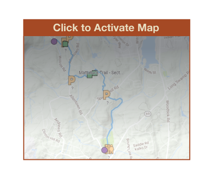
Click Map Image to load the full interactive map.
Or Click here to open Interactive Map in Google Maps App.
Address for your GPS: 100 Lane Hill Road Terryville, CT 06786
| Coordinates: N41.644773, W073.007365 |
| From Bridgeport | 40 Minutes |
| From New Haven | 30 Minutes |
| From Hartford | 20 Minutes |
| From New London | 1 hour |
| From Providence | 1.5 Hours |
| From New York | 2 Hours |